

MASt Research Project
Independent scientific research is an intregral part of the MASt course. Here you will develop your analytical and critical skills. Your research report is worth 40% of the final total mark. Besides your written project, you will also present your science in a poster session and as a presentation, developing your scientific communication.
The projects below are examples of those that have occurred in previous years. This gives you an idea of the breadth of possibilities. Please look at the faculty pages to see who you might be interested in working with. After admission, we will work with you to find a project that fits your background and interests. If you are interested in a type of research project that requires fieldwork before the academic year, please apply as early as possible, to allow for logistical preparations.
Exploring the use of hydrovolcanic landforms in Galápagos to document global sea level changes
with Sally Gibson
This lab-based project aims to use local-scale observations of volcanic tuff cones in Galápagos to understand the effects of global-scale climate change and, potentially, subsidence/uplift across the Galápagos Archipelago. A fundamental goal is to determine the timing of the emergence of tuff cones and use this information to document sea level change and/or subsidence in Galápagos over the last 2 Ma. A further aim is to link impacts of sea level change and subsidence and/or uplift of the seafloor on the nature and style of volcanic landforms, eruption style and volcanic history of individual islands around the Galápagos Archipelago. This will allow us to understand how variations in sea level change may have affected land bridge formation and therefore influence speciation across the Archipelago. The project will contribute to the current limited global database of the morphology of tuff cones – this has broader implications for our understanding of volcanic features in planetary studies (e.g. Brož and Hauber, 2013).
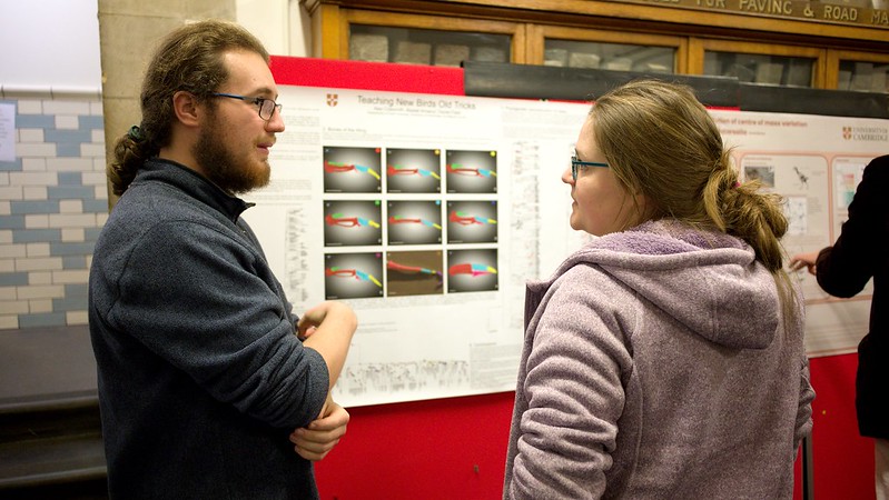
Digital investigation of fossil and extant bird morphology and evolution using high-resolution 3D imaging
with Daniel Field
Fossils provide the only direct evidence of the history of life, and bird fossils from the Late Cretaceous and early Cenozoic have potential to reveal long-sought insights into patters of avian diversification underpinning extant bird diversity, as well as the pattern and timing by which important avian synapomorphies evolved. Using high-resolution digital imaging, the student will describe and analyse new fossil remains from the Americas, Europe, or Antarctica and evaluate their evolutionary significance.
Sulfur’s journey into planets
with Oli Shorttle
Sulfur has a rich diversity of chemical behaviours in planetary systems: existing as gasses and liquids in their atmospheres, for example the SO2 released by volcanoes on Earth and the sulfuric acid clouds of Venus; minerals at their surfaces, for example the anhydrite at the surface of Mars, or troilite found on meteorites; and crystalline, liquid, and as metal complexes in their interiors. In all these settings sulfur, even present in trace quantities, has a profound impact on the dynamics of the system. In atmospheres it affects climate, at surfaces it affects redox and the pH of aqueous solutions, and in interiors it affects melting, mineral stability and core formation. This project will investigate the entry of sulfur into planetary building blocks and its subsequent redistribution in the planet.
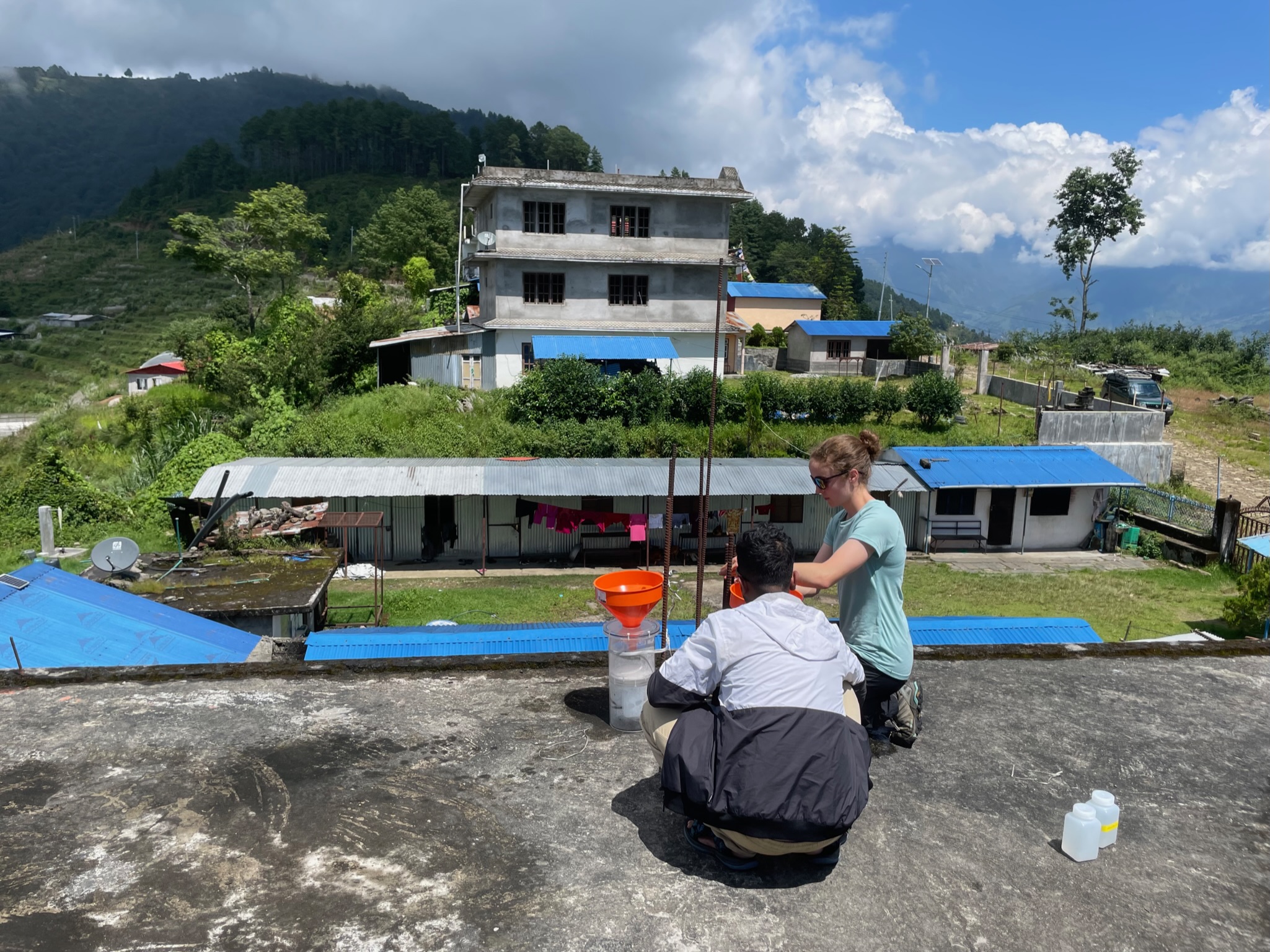
Microplastics and methane in rivers
with Sasha Turchyn and Andy Woods
Recent work has shown that rivers are accumulating large amounts of microplastics, are major sources of methane, and that river water is largely fed by groundwater. Taken together, this suggests a large amount of microplastics are being delivered through groundwater into rivers, and that the production of methane in groundwater can be very large, which then is emitted to the atmosphere when the groundwater feeds the river. The methane emissions are massively curtailed when a river reaches the ocean, likely due to the oxidation of the methane in the riverbed. The relative balance of these various processes is not fully understood, nor are the mechanisms by which microplastics are transported in groundwater and river water. In this project the student will measure the methane ebullition through a river into the higher salinity estuary, as well as develop a method to measure the microplastic concentration and composition in a river.The goal will be to link the change in the ebullition of methane down the river as well as to understand how the concentration of microplastics in rivers changes as a function of local land use change.
Better Barometry: Improving Machine Learning Approaches for Multiple Saturation Thermobarometers
with John Maclennan
Barometry is a key component of petrology. Our understanding of the distribution of magma storage zones in active volcanic regions relies heavily on petrological thermobarometry. Barometers based upon the multiple saturation of phases in magma have been recently employed to explore the feeding of active eruptions (Halldorsson et al., 2022) and reveal the control of mantle melt fluxes on the architecture of sub-volcanic systems (Baxter et al.). There remains, however, some controversy about the nature of the uncertainty on these barometers. Building on a successful recent Part III project, this work aims to combine thermodynamic and machine learning approaches to establish a robust framework for barometry in magmatic systems.
Does the thickness of the lithosphere control North America’s intraplate seismicity?
with Sergei Lebedev
Most of the Earth’s seismicity occurs in plate boundary regions. Stable continental areas undergo little deformation and feature low seismicity rates. Notable exceptions, such as the 1811-1812 sequence of destructive M7–8 earthquakes in the New Madrid Seismic Zone, central United States (e.g., Liu & Zoback 1997), are rare but highlight the importance of understanding the seismicity in the low-strain regions. It was discovered recently that the distribution of earthquakes in Britain and Ireland is controlled, to first order, by the lateral variations in the thickness, temperature and, thus, mechanical strength of the lithosphere (Lebedev et al. 2023). The goal of this project is to determine the thickness of the lithosphere in seismic areas of stable North America, compare that with the distribution of earthquakes and obtain new insights into the basic mechanisms that control the seismicity distributions.
Big river, small river: sediment transport and weathering in the aftermath of the Permian–Triassic mass extinction
with Neil Davies
Early Triassic rocks crop out across much of England, recording the deposits of rivers both large and small in the centre of Pangea. These deposits have the potential to answer questions about Earth system recovery from mass extinctions, because the Permian–Triassic (PT) mass extinction was marked by a massive release of carbon into the ocean-atmosphere system and caused prolonged high pCO2 and high temperatures into the earliest Triassic. It has been proposed that climate recovery in the aftermath of the extinction may have been due to the reduced efficiency of CO2 removal from the ocean-atmosphere system through continental weathering, with Earth’s weatherable skin already ‘exhausted’ from the preceding interval. If correct, Earth’s weathering system sat towards a ‘supply-limited’ end member in stark contrast to today, meaning CO2 drawdown was limited by the amount of material exposed to weathering. This project aims to test this hypothesis through a combination of original sedimentological fieldwork, core analysis, and advanced techniques in clay petrography.
Reconstructing past Alpine climate using speleothems from the Piemonte region of Italy
with Luke Skinner
Cave deposits (speleothems) can provide invaluable information on past environmental change in the terrestrial realm, potentially at high temporal resolution and within a well-defined chronological context. Speleothem archives from alpine regions may be particularly informative, as these regions can be extremely sensitive to climatic changes, much like the high latitudes. Such archives will incorporate a wide range of information, including the effects of e.g. temperature variability, precipitation changes (sourcing, intensity), soil carbon respiration, as well as the seasonality of these processes. A key challenge in interpreting speleothem archives lies in disentangling these various influences to provide an informative interpretation of their individual or collective effects on speleothem geochemistry. This project aims to perform exploratory work on new speleothems (stalagmites and drip water ‘straws’), recovered from a cave in the southern Italian Alpine region of Piemonte, to evaluate their potential for palaeoclimate reconstruction and to provide a first interpretation of the environmental and climatic information that they include.

